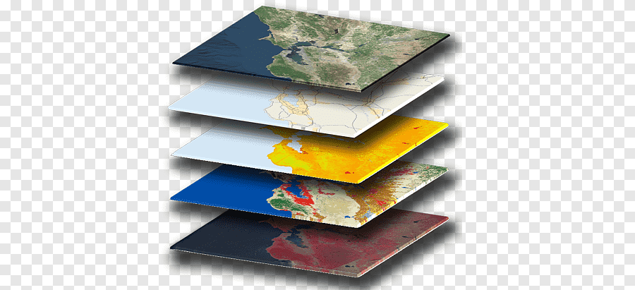
Geographic Information System Geography Geographic information science Map, geography dictionary, data, map png

PNG keywords
- data,
- map,
- geographic Data And Information,
- thematic Map,
- table,
- system,
- information System,
- information,
- geoserver,
- geography,
- geographic Information System,
- geographic Information Science,
- esri,
- data Analysis,
- web Mapping,
- png,
- sticker png,
- free download
PNG info
- Dimensions
- 650x411px
- Filesize
- 222.88KB
- MIME type
- Image/png
resize png
width(px)
height(px)
Non-commercial use, DMCA Contact Us
Relevant png images
-

earth illustration, Geographic Information System GIS Day Geographic data and information Geography Map, Earth In, globe, world png -

Geographic Information System QGIS ArcGIS Geography GIS applications, map, grass, map png -

Esri ArcGIS Geographic Information System Logo Geographic data and information, city infrastructure, company, logo png -

Geographic Information System Geography Map Cartography, gis s, angle, data png -

Geographic Information System Geography Geospatial analysis Map, map, world, data png -

Geographic Information System Map ICO Icon, gis s, data, map png -

Geographic Information System Mastering ArcGIS Geography Geographic data and information, map, text, map png -

ArcGIS Geographic Information System Esri Cartography, map, map, data png -

ArcGIS Esri Geographic Information System Map, map, angle, map png -

planet earth artwork, Esri ArcGIS Server Geographic Information System Computer Software, previous icon, symmetry, sphere png -

Geographic Information System Technology Business Consultant, analysis, electronics, service png -

Geographic Information System Geography GIS Day Geographic data and information, layer, angle, data png -

Geographic Information System Geography Spatial analysis Digital mapping Raster data, map, service, grass png -

Globe Geographic Information System Computer Software Systems Tool Kit, globe, 3D Computer Graphics, world png -

Cadcorp Geographic Information System Web mapping Geographic data and information, mapping software, electronics, data png -

Earth World map Globe Geography, earth, 3D Computer Graphics, world png -

Geography National Geographic Bee Scale Cartography Map, globe, globe, color png -

Esri ArcGIS Geographic Information System Logo, gis s, logo, symmetry png -

ArcGIS Server Getting to Know Web GIS Esri ArcEditor, map, rectangle, map png -

Netbook ArcGIS Laptop Esri ArcView, explorer, netbook, computer png -

eyeglass, paper, pencil, and calculator, Data analysis Big data Management Data processing, report, text, people png -

ArcGIS ArcView Esri ArcEditor ArcInfo, map, rectangle, map png -

Esri International User Conference ArcGIS Server Redlands, map, logo, sphere png -

Map Geographic Information System Icon, gis s, angle, logo png -

QGIS Geographic Information System Open Source Geospatial Foundation PostGIS Computer Software, installation, text, logo png -

Infographic Chart Icon, Creative PPT element, five assorted-color line illustration, angle, 3D Computer Graphics png -

assorted-color boards, Chart Infographic Information, PPT Chart, label, text png -

Geographic Information System Computer Icons ArcGIS Map Geospatial analysis, map, angle, logo png -

Geographic Information System GIS Day GIS applications Map Geography, cartoon earth, cartoon Character, child png -

GIS fundamentals Geographic Information System Geography Map, map, angle, text png -

Big data Data analysis Analytics Tableau Software, bigdata, text, information Technology png -

ArcGIS Esri Geographic Information System Map ArcView, map, grass, fauna png -

Data analysis Data science Systems analysis Analytics, Business, blue, text png -

Data science Data analysis Analytics Big data, bigdata, computer Network, data png -

Business process Information Data analysis Management, Business, people, management Consulting png -

map illustration, Geography of Pakistan Map Geography of Pakistan, pakistan, independence Day, wikimedia Commons png -

United States World map Globe India, map, globe, monochrome png -

Computer Icons ArcGIS SAP HANA Installation Computer Software, map, globe, computer png -

OpenStreetMap Geographic Information System Geographic data and information Open Source Geospatial Foundation, information, wikimedia Commons, road Map png -

monitor icon illustration, Data analysis Predictive analytics Business Data science, analysis, text, rectangle png -

ArcGIS Esri Map Geographic Information System Computer Software, Geographic Data And Information, gadget, electronics png -

Elasticsearch Kibana Logstash Logfile Apache Lucene, minnesota elk logo, text, stack png -

World map English Language, World Geography Map, english, spanish png -

Globe Geographic coordinate system Longitude Latitude, globe, symmetry, world png -

graphics Map Geographic Information System Location, map, text, orange png -

Spain Computer Icons Map Geography Spatial data infrastructure, map, black, equal png -

Research Big data Analytics Data management, Internet technology, electronics, company png -

Data science Analytics Data analysis Big data, technology, electronics, text png -

Geographic Information System Raster graphics Map algebra Geography, simple display table, angle, rectangle png -

green globe illustration, Earth Globe World map, Earth, globe, grass png


